
The 22 best hiking trails in Fuerteventura: Discover its landscapes
Fuerteventura offers a variety of hiking trails that highlight its natural beauty. The island has volcanic landscapes, cliffs and beaches, ideal for nature lovers. Exploring these routes allows you to enjoy not only the adventure, but also the unique flora and fauna of the Canary archipelago. Each trail offers a different experience, adapting to all levels of difficulty.
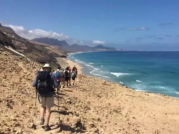
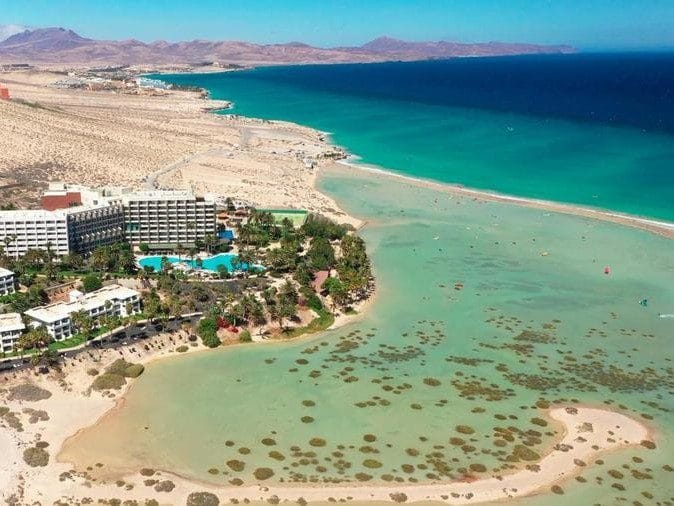
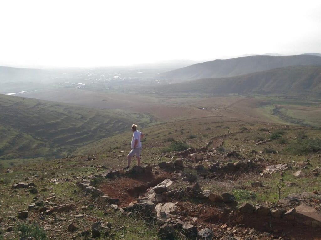
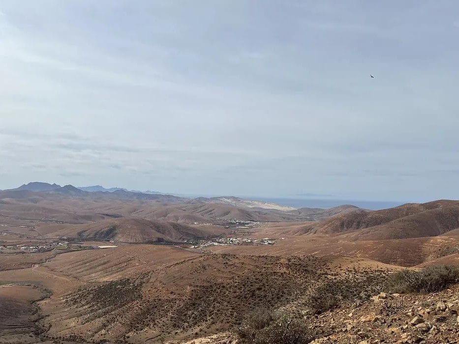
Fuerteventura is not only discovered on the seashore, but also through its trails. With landscapes ranging from dormant volcanoes to steep ravines and endless plains, this island of the Canary archipelago is a paradise for hiking enthusiasts.
Walking in Fuerteventura is to enter into its purest essence: silence, wind, volcanic earth and views that connect with nature. In this guide we show you the best hiking trails in Fuerteventura for you to explore the island on foot and discover its most authentic corners, away from mass tourism and in full harmony with the environment.

1. Long distance trails (GR)
2. Short Distance Trails (PR)
3. Fuerteventura Local Trails (SL)
4. Exploring Fuerteventura on foot
The island of Fuerteventura is a privileged destination for hikers, thanks to its unique landscapes and rich biodiversity. Each walking route reveals a new aspect of its natural beauty.
Importance of hiking on the island
Hiking in Fuerteventura is not only a form of physical exercise; it is also a deep connection with nature. This type of activity allows visitors to enjoy a peaceful environment, away from the daily routine and immersed in inspiring landscapes.
Hiking contributes significantly to the conservation of the environment, as it awakens a greater awareness of the local flora and fauna. While hiking the trails, it is common to observe native birds, endemic plants and geological formations that tell the story of the island.
Protected natural areas
Fuerteventura has numerous protected natural areas that are ideal for hiking. These spaces not only conserve biodiversity, but are also essential to preserve the ecosystems of the island.
- Jandia Natural Park: One of the largest reserves of Fuerteventura, with its stunning scenery of mountains and pristine beaches.
- La Zarza Mountain: Located in the center of the island, it is a key point for those who wish to enjoy panoramic views of the region.
- Las Dunas de Corralejo: This area presents a fascinating contrast with the mountains and offers trails that cross an almost lunar environment.
- El Saladar de Jandía: A unique ecosystem where you can observe different species of birds, highly appreciated by ornithologists and photographers.
5. Selection of the best routes
Fuerteventura offers a varied range of trails that allow you to explore its unique landscapes. Below are some of the most outstanding routes, each with particular characteristics that make them unique.
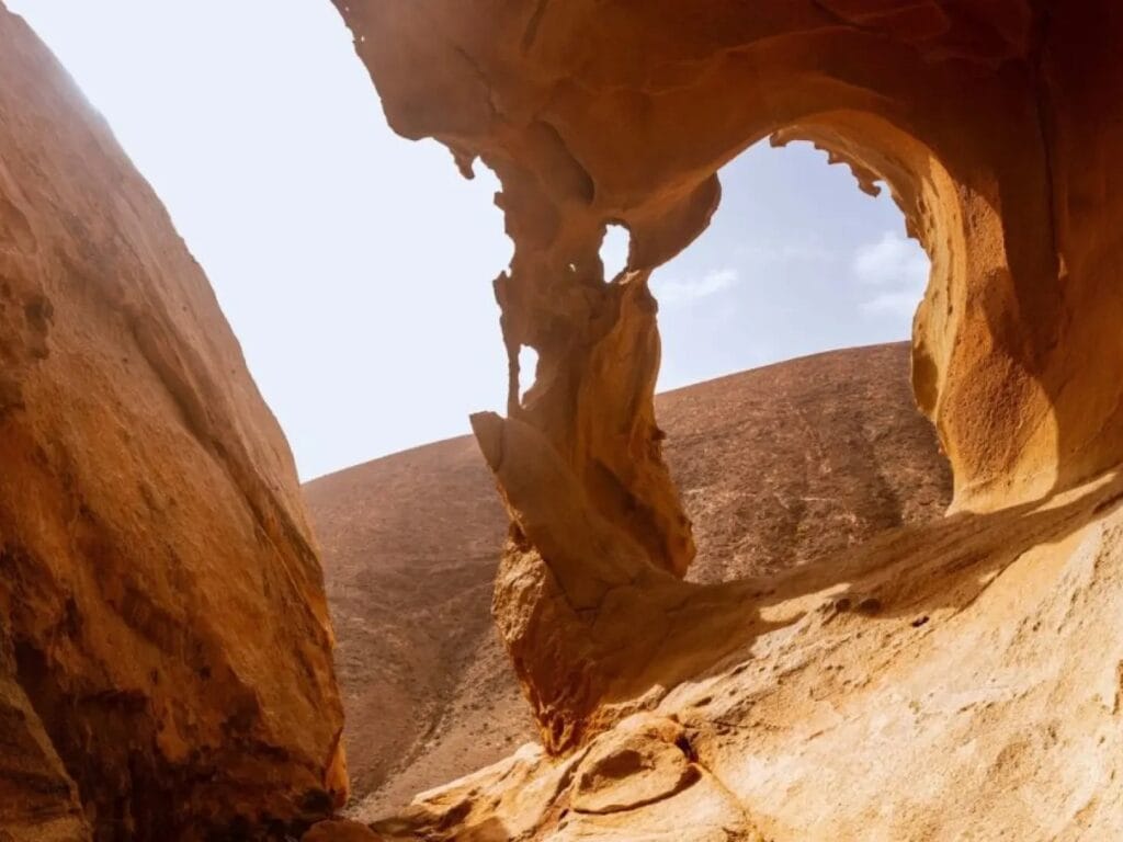
Las Peñitas Arch Route
Features and landscapes
This trail, of high difficulty, takes hikers through the Barranco de las Peñitas. It is a 5.22 km route with a 160 m elevation gain. The imposing rock walls and natural surroundings make this route a spectacular place to enjoy the local flora and fauna.
Tips for the tour
Hikers should be prepared for steep terrain. It is recommended to bring appropriate footwear and enough water for the hike. Also, starting early in the day helps to avoid the intense midday heat.
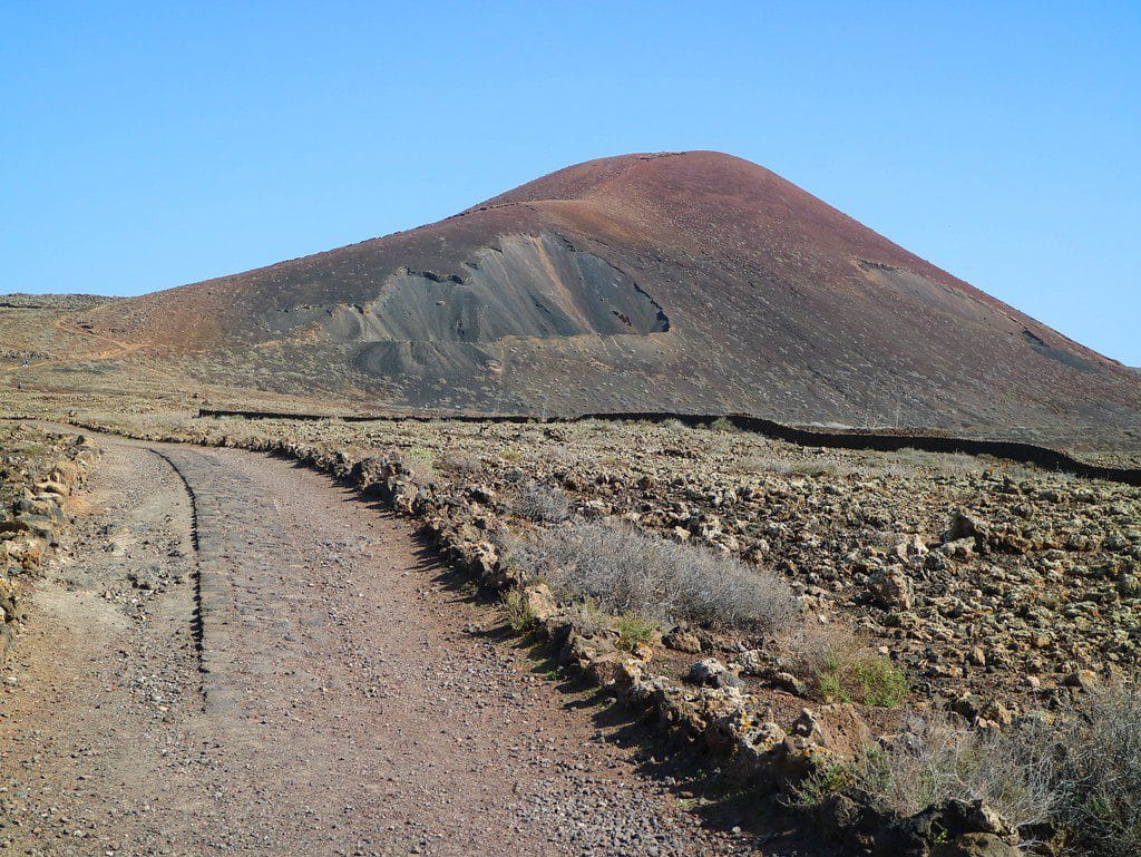
Calderon Hondo Volcano
Volcanic experience
The route to the Calderón Hondo Volcano is 4.63 km long, with an elevation gain of 140 m and classified as easy access. In this volcanic crater, hikers can observe an impressive landscape that includes unique geological formations.
Accessibility for all levels
Due to its low difficulty, this route is suitable for beginners and families. The panoramic views are a reward at the end of the tour, offering an unforgettable memory of the experience.
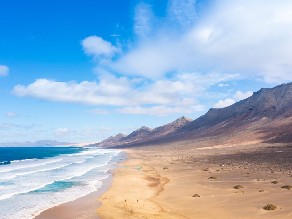
West Coast from Costa Calma
Coastal and mountain beauty
This 13.8 km circular route presents a moderate level of difficulty and a 290 m elevation gain. As you walk along the coast, you can enjoy impressive cliffs and views of the Atlantic Ocean.
Suitable for families
With accessible trails and several stops to enjoy the scenery, it is a perfect option to go with children. The combination of nature and exercise makes this a very attractive activity.
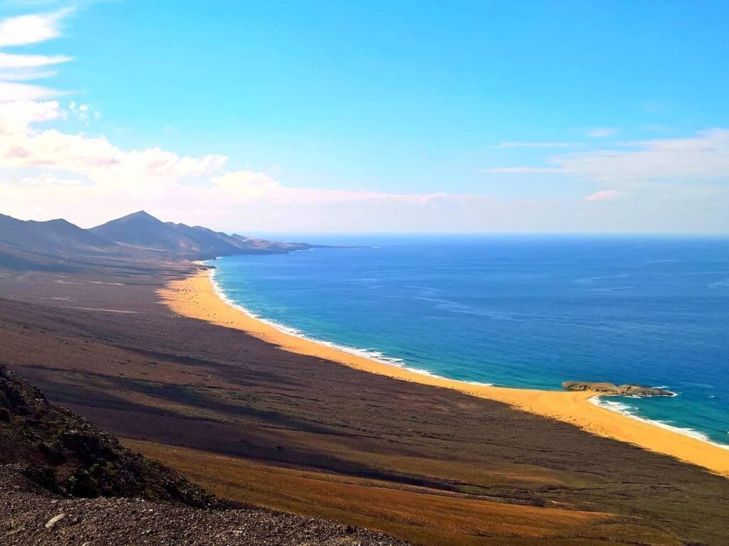
Cofete from Morro Jable
Isolation and nature
This 13.8 km challenge, which presents a 590 m elevation gain, leads to one of the most pristine beaches on the island, Cofete. The route crosses a breathtaking valley, offering beautiful views and a secluded environment.
Cofete Beach
The beach, famous for its wild beauty and powerful waves, is the final destination of this route, where hikers can relax after their hike and enjoy the stunning natural surroundings.
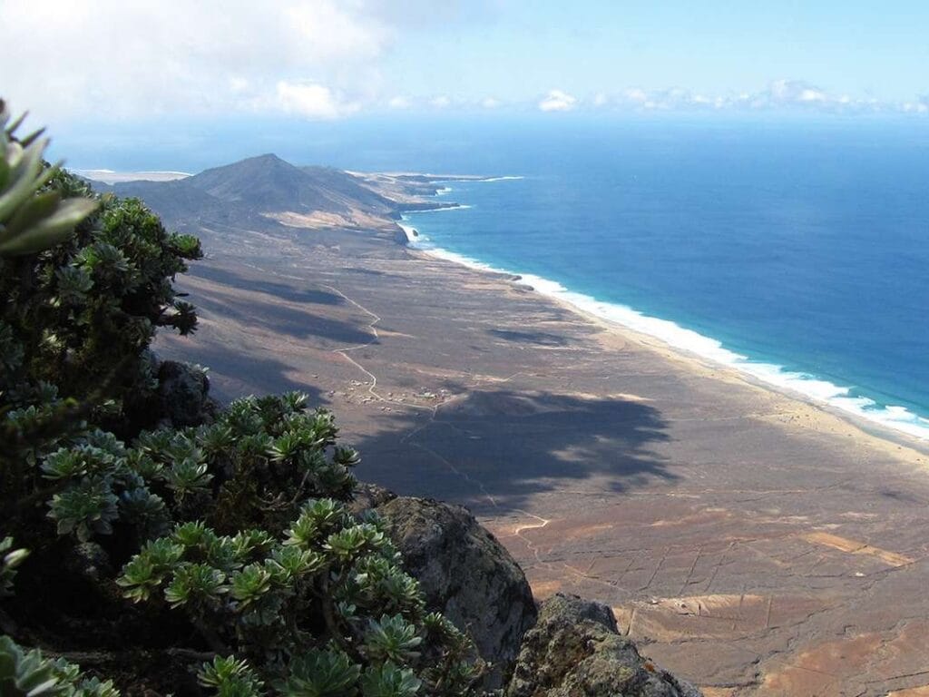
La Zarza Peak
Panoramic views
With 807 meters above sea level, the Pico de la Zarza is the highest peak of Fuerteventura. This alternative route offers spectacular views of the entire island and invites you to enjoy the beautiful scenery from the heights.
Intermediate challenge
The ascent along this route has an intermediate level of difficulty, which implies that hikers should be in good physical shape. Along the way, a diversity of flora and fauna can be appreciated, enriching the experience.
6. Other recommended trails
Fuerteventura has a wide range of trails that offer unique experiences. These trails allow you to discover the ecological and scenic diversity of the island, each with characteristics that make them special.
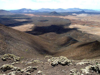
Gairía Caldera
Volcanic terrain
The trail around the Caldera de Gairía is located near Tiscamanita. This place is a volcanic cone that presents an impressive landscape, ideal for those seeking to observe unique geological formations. The route allows you to enjoy striking views and the typical arid landscape of the island.
Intermediate difficulty
With a distance of approximately 2.53 km, the Caldera de Gairía has an elevation gain of 156 meters. Although the route is not long, the uneven terrain classifies it as of intermediate difficulty, so it is advisable to have some hiking experience.
Circular Tiscamanita - Morro Jorjado
Variety of landscapes
This road connects Tiscamanita with Morro Jorjado and offers an enriching experience as it passes through diverse landscapes. During the tour, it is possible to observe mountain slopes, open fields and the emblematic Canary flora in its natural state.
Canary Islands experience
The route has a length of 12.23 km and has an elevation gain of 465 meters. Ideal for those who want to immerse themselves in nature, the trail puts the hiker in contact with rural life and local traditions, enriching the experience with cultural elements.
Tiscamanita - Pájara
Mountain crossing
This 15.23 km trail takes hikers through a mountainous route that is attractive for those looking to take advantage of a full day of hiking. With an elevation gain of 813 meters, each stretch offers breathtaking panoramic views.
Cultural tour
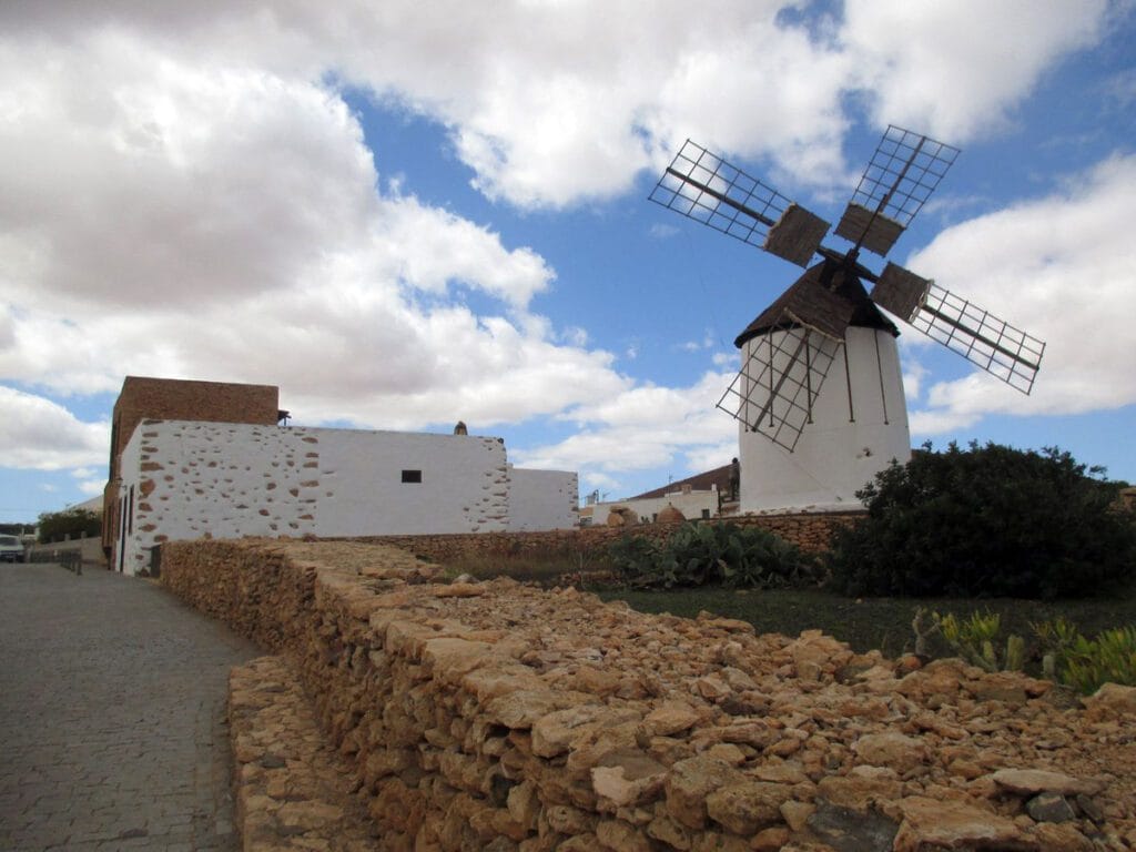
Along the way, you will pass through several areas of great cultural value, including the charming village of Toto. The connections between natural landscapes and local life make this route an ideal choice for those who wish to learn about Fuerteventura’s heritage while enjoying its beauty.
Tiscamanita - Toto - Pájara
Geographic and cultural richness
The last of these routes, which is part of a series that originates in Tiscamanita, covers 11.15 km and has an elevation gain of 505 meters. This route not only stands out for its varied geography, but also reflects the Canarian culture in its villages and landscapes.
The trail combines natural and cultural elements, allowing hikers to enjoy an environment that tells stories of times past while connecting with nature. This route is perfect for those looking for a more in-depth experience on their island adventure.